Early Bookings Deal: 5% discount for all hotels in ski resorts. Full Payment required before February 28, 2012.

Trails Map of Corralco Ski Center
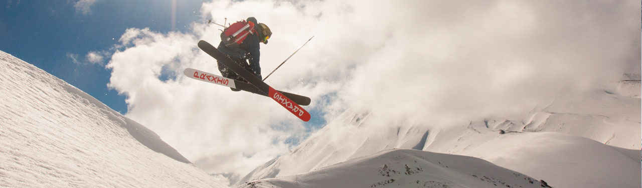
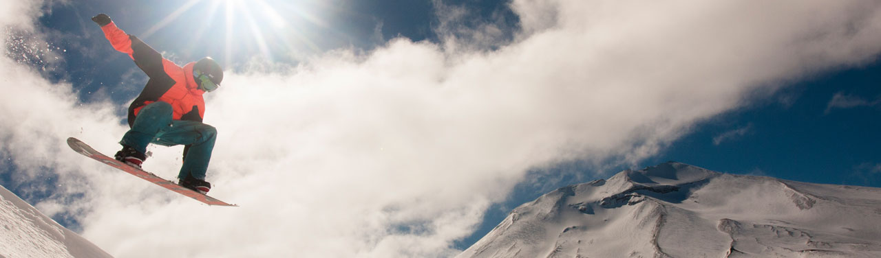
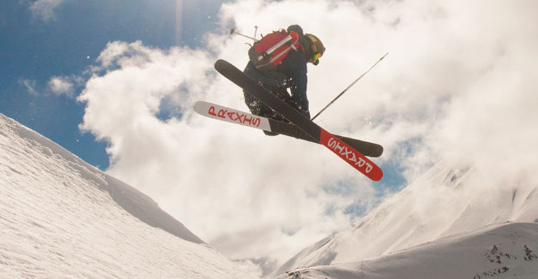
Corralco is the newest ski centre in Chile, and it offers new alternatives when it comes to ski and snowboarding for Chileans and tourists from another countries.
The centre has two hundred hectares, with tracks for beginners and experts, with the best snow in the area and in the middle of a simply wonderful scenery.

| Begginers Trails | Pudú Huemul bajo |
|---|---|
| Intermediate Trails | Piquén, Caiquén and Huemul Alto |
| Advanced Trails | Chucao and Bandurria |
| Expert Trails | Puma and Cóndor |
| Number of Trails | 9 |
|---|---|
| Skiable Area | Over a 1.000 hectares |
| Location | In the South-East side of the Lonquimay Volcano, 120 kms away from Temuco. Inide the Malalcahuelo-Nalcas National Reserve |
| Number of Lifts | A double lift 1.400 mt long, 1 teleski 500 m long, a school ground lift and one tubing ground lift |
| Maximum Height | 1.965 meters |
| Minimum Height: | 1.460 meters |
| Longest trail | Bandurria 2.000 meters |
| Vertical Descent | 321 meters |
| Average Snowfall | 6 meters on top of hill, 2 at base |
| Average Clear days | 80% |
You are here: Home»Ski Resorts»Corralco»Trails Map


Soon with traveller reviews from 
